28 June
Daily volcano update
Press Release Recent Activity Mt Agung
Monitoring Data:
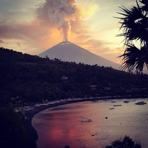
Post eruption June 27, 2018 at 22:21 WITA, visually observed a thick white gas column from the morning was about 200 m above the peak. At about 10:30 am the intensity of gas emissions has increased and is accompanied by a thin ash. Emissions of gas and ash occur continuously with altitudes ranging from 1500-2000 m above the peak and is still ongoing. Direction of the main ash distribution to the West then turn to the Southwest. This was confirmed by the PVMBG Team who conducted field checks, ash rain with a slight intensity observed around Puregai Village (7 km from the summit). Until now (18:00 WITA), the activity of gas and ash emissions is still ongoing with a relatively constant altitude in the range of 1500-2000 m above the peak. VONA has been shipped at 15:01 WITA with Orange color code.


The seismic amplitude increased rapidly in the last 12 hours. Earthquakes are dominated by earthquakes with low frequency content manifested on the surface of gas and ash (gusts) emissions. The earthquakes are then getting closer and forming a continuous tremor since around 12:30 WITA.
Deformation observed inflation since May 13, 2018 to date with an uplift of about 5 mm. This indicates the still development of pressure by magma in the body of Mount Agung. Until now, the inflation of Mount Agung's body still has not decreased.
Geochemically, SO2 gases were last measured with flux in the range of 200 tons per day. This indicates the existence of magma movement from inside the body of Mount Agung to the surface.
From the latest satellite images on June 28, 2018 this morning observed Hotspot (hot spots) on the surface of the crater indicating the presence of hot material on the surface of the crater. This hot material is probably a newly released lava (effusion) post-eruption last night.
Analysis:
Continuous phenomena of gas and ash emissions are likely to be accompanied by fluid flow, this is supported by seismic signals (low frequency tremors), satellite images, and visual observations where gas and ash columns tend to be white and their heights are relatively constant. Fluid flow that occurs other than gas and ash can also be a fresh lava flow to the surface. A low frequency tremor signal where the dominant frequency is relatively unchanged (in the 4 Hz range) indicates that the fluid flow rate to the surface that occurs has a relatively constant rate. It can be estimated that the current surface activity is still effusive. If the seismic signal changes, eg marked by the appearance of high frequency seismicity, changes in the frequency content of the tremor and / or a significant increase in amplitude then this may indicate the occurrence of blockages and explosive eruptions may occur. However, if the activity of gas and ash emissions continue without any significant change in rate then the possibility that there is a fresh lava filling to the surface (increase the volume of lava dome) and / or magmatik gas emissions. PVMBG continues to monitor Gunung Agung's activities to evaluate its potential dangers over time. If there is a significant change then the status and / or recommendation of Gunung Agung's activity can be re-evaluated.
Resource: https://magma.vsi.esdm.go.id/
Conclusions and recommendations:
Currently the status of Mount Agung is still at Level III (Standby). At this level, an eruption can happen at any time.
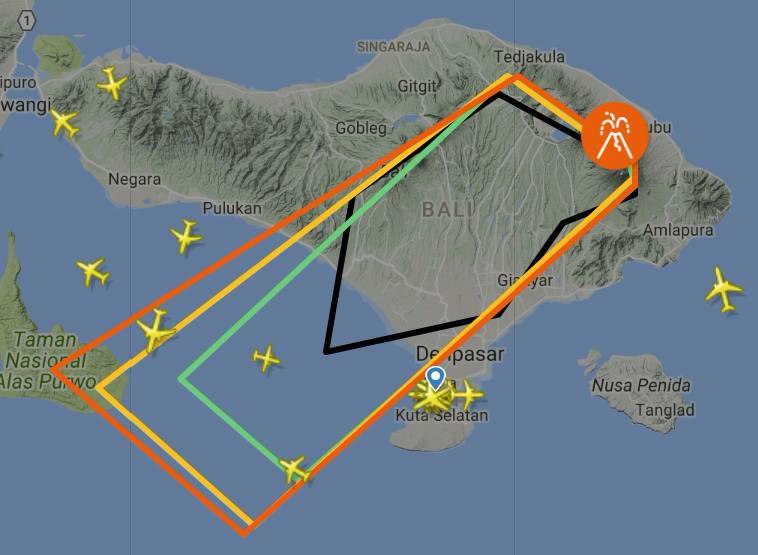
Communities around G. Agung and climbers / visitors / tourists not to be on, do not climb and do not do activities in the Estimated Hazard Zone in all areas within a 4 km radius Crater Puncak G. Agung.|
Residents who live and move around the river streams that head on Mount Agung to be aware of the potential threat of secondary danger of rain lava flows that can occur especially in the rainy season and if eruption material is still exposed in the peak area.
Communities / tourists around G. Agung to always prepare a protective mask to avoid potential threats of volcanic ash hazard for health.
Communities to remain calm but still maintain the preparedness because the activity of Mount Agung has not returned to normal.
PVMBG through Gunung Agung Observation Post has and continues to coordinate with the parties related to the disaster mitigation of Gunungapi Agung.
Gunung Agung's activity information is constantly updated every 6 hours and if people need more specific information, can contact the Gunungapi Agung Observation Post located in Rendang or in Batulompeh.
